Big Size
India | Old Civilisation Map | Where is India on the Globe | Harappa, Indus Valley civilisation | Jammu and Kashmir map | Ancient Indian Architecture | Map India
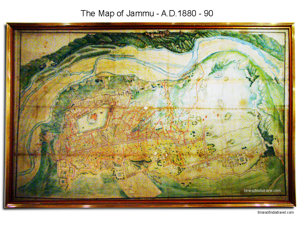
This map, through not as accurate as a contemporary rvenue or survey map, is an excellent portrayal of Jammu city and her significant location. Different from most of the other medieval Indian maps, which aim at depicting only a single aspect of their subject, this Jammu map portrays an all-over character of the land –its history, structure of society, religious thrust, economic and political set-up, strategic positions, important personalities and various civil amenities.