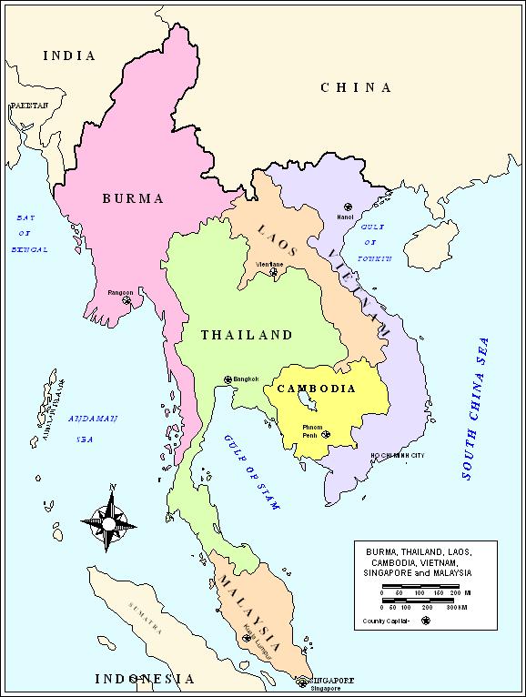
Asia Political Map
World's largest and most populace continent know
as Asia, It is covered earlier in the eastern andnorthern hemispheres
around29.8% of its land area. with approx 4 billion people which cover
60% of the world's population. The Western part of Asia was occupied
by Europe and earlier known as Eurasia. The Asia have very different
due to wide variety of people and their traditions, places and its history,
culture and colours.The Asia included India, Indonesia, Pakistan, Bangladesh,
Japan, Philippines, Vietnam, Iran, Thailand, Myanmar, South Korea, Iraq,
Nepal, Malaysia, Uzbekistan, Afghanistan, Saudi Arabia, North Korea,
Republic of China (Taiwan), Syria, Yemen, Sri Lanka, Kazakhstan, Cambodia,
Israel, Hong Kong, China, Tajikistan, Jordan, Laos, Kyrgyzstan, Turkmenistan,
Singapore, United Arab Emirates, Lebanon, Palestinian Authority, Kuwait,
Mongolia, Oman, East Timor, Qatar, Bahrain, Bhutan, Macau, China, Brunei,
Maldives

